
JA Open Street Map plugin new version 1.0.1 is available for download for new features:
- Supports 9 custom map styles from https://thunderforest.com
- Custom marker icon
- Delect map Lattitude and Longtitude by location
The Joomla openstreetmap extension is an advanced Joomla map plugin to integrate beautiful responsive OpenStreetMap (free editable map of the world) into your Joomla website: contact page, article, custom html module and more using simple short code {jaosmap}{/jaosmap}.

JA OpenStreetMap Joomla extension updated with new features
Amazing new features for JA Open Street Map Joomla extension:
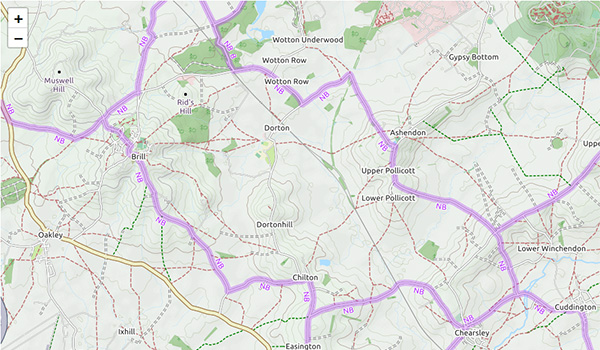
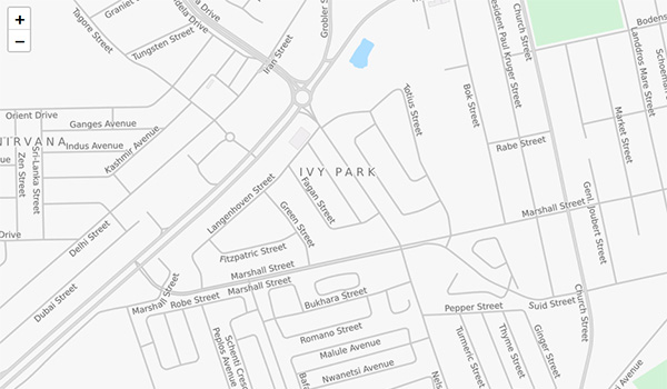
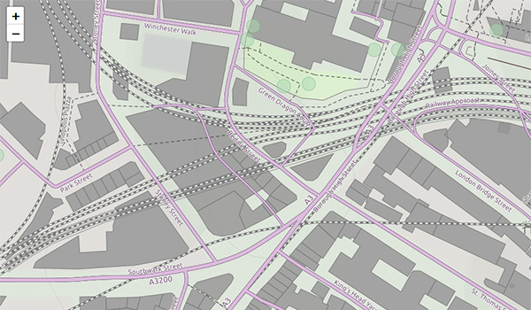
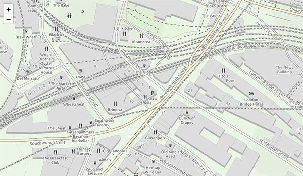
1. Supports 9 custom map styles
By default, the OpenStreetMap Joomla extension supports 2 map styles: Standard and Humanitarian, the new version will supports 9 more custom map styles from https://thunderforest.com with high-performance map styles to fit more businesses.
OpenCycleMap
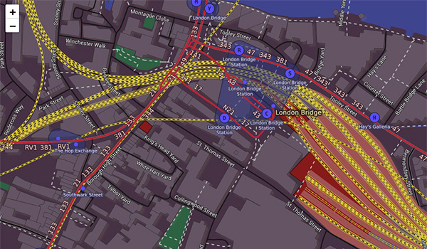
Transport Map
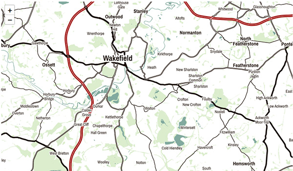
Landscape Map
Outdoor Map
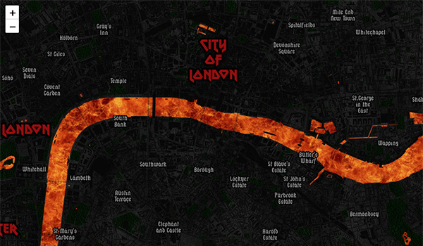
Transport dark map
Spinal Map
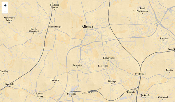
Pioneer map
Mobile Atlas Map
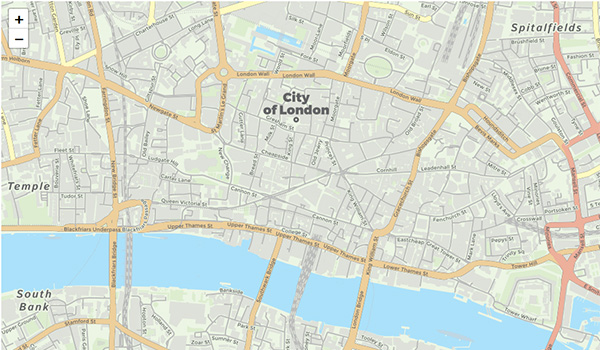
Neighbourhood Map
To get API and Tile layers URLs for each map style, free signup at https://thunderforest.com/pricing/ and access your dashboard to get API key and Tile layers url to add to JA Open Street Map plugin.
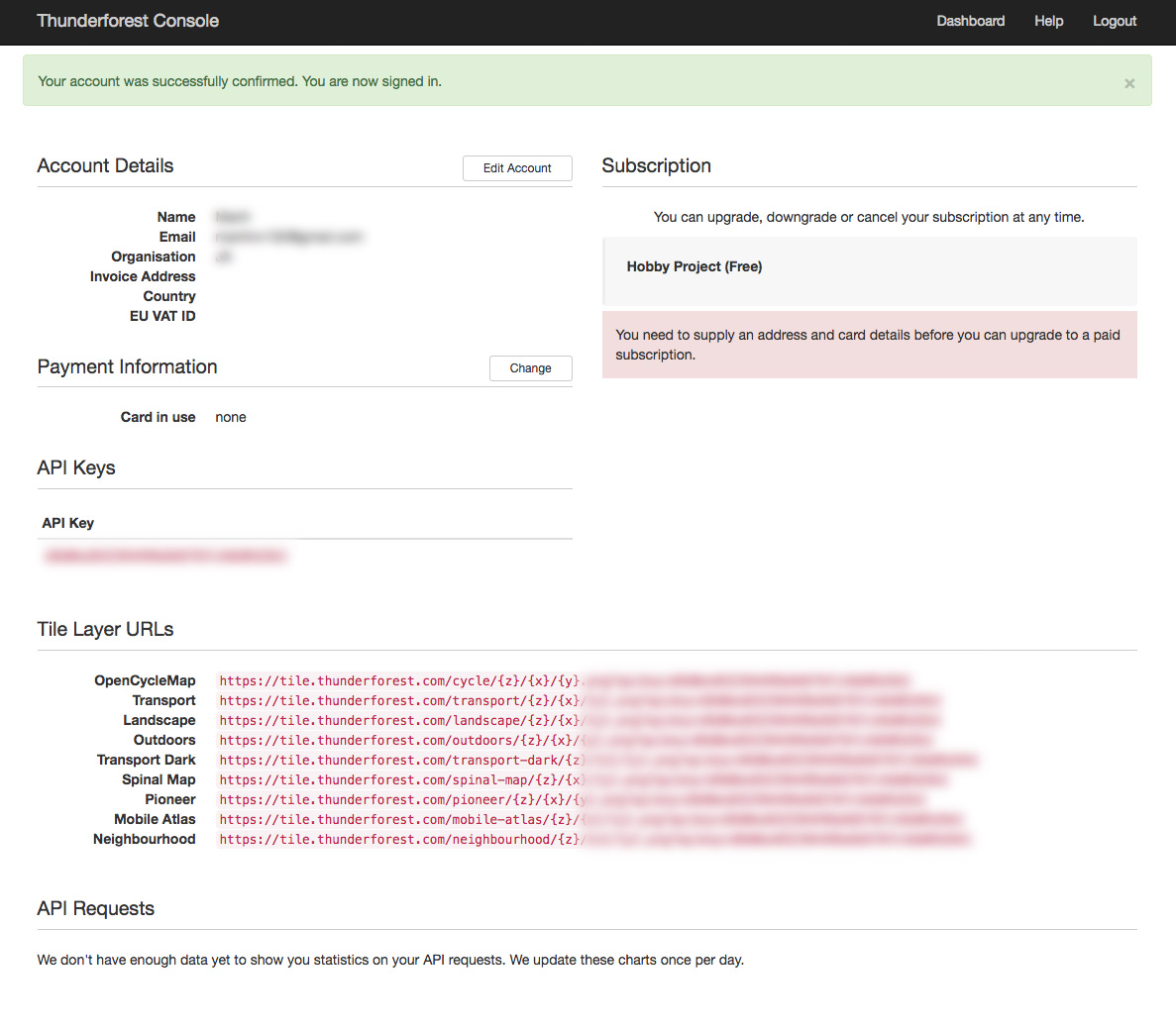
OpenStreetMap custom map styles API
2. Custom marker / Pointer icon
JA Open Street Map Joomla plugin allows you to display multiple pointers in one map. Each pointer icon can be configured in the back-end.
Note: the map pointer icon size should be 16x16 px or 32x32 px.
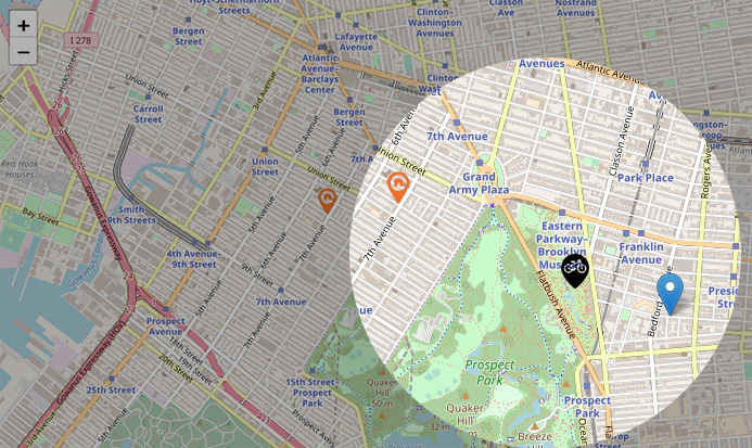
Custom pointer icons
Configure pointer icons
3. Detect OpenStreetMap Longitude & Latitude by Location
To help user quickly add places in the map, the Joomla OpenStreetMap extension suppors the map longtitude and latitude detection by location. You can add location name then hit the button Detect Long & Lat, then corresponding longtitude and latitude of the place will be auto generate.
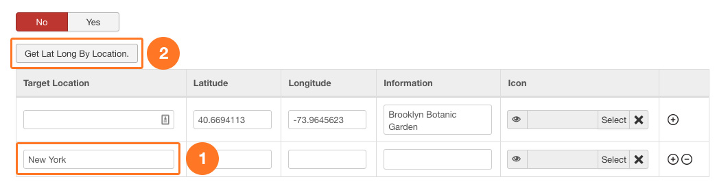
Detect OpenStreetMap Longitude & Latitude by Location